
Kelly West Crater 4WD Track and Walk: Tennant Creek

In Search of Kelly West
Kelly West
Go looking for this site purely for the adventure and sense of accomplishment in finding this off-the-grid meteor site. It does allow you to drive and walk over some great-looking farmland. For those interested in geology or meteorite sites it provides an alternate getaway in the Tennant Creek area.


We arrive in Tennant Creek Between Christmas and New Year it's been raining for the last week and the Stuart Highway is flooding in sections. We planned to explore Tennant Creek and then do the Binns Track from the Davenport Range down to Alice Springs. Unfortunately, the rain had ensured the Binns Track was closed and as such, it left us looking for a new adventure. We found Kelly West Crater on the internet but could find very little information on it. We got no help from Tennant Creek tourism as they were closed being mostly public holidays at this time of the year. Left in the dark and relying on what we had found on the internet we assumed, incorrectly, that we did not need permission to go looking for this crater. Kelly West Crater lies on Tennant Creek Station that belongs to Ken and Leigh Ford, this is private land and is not open to the public. We did contact the owner once we got back from holiday and asked forgiveness. Obtain permission before taking on this adventure.
A day was spent trying to find this meteorite site. We would follow tracks only to find the road flooded for a long section. The next road was indicated on the map but was just impossible to find on the ground. Eventually, it became clear that no road would get us to our final destination and we would need to walk the last section to the meteorite site. For more detail on this journey have a look at our video.

Kelly West Central Uplift Area
About Kelly West Crater
‘The Kelly West impact structure is centred at 19°55’46”S 133°57’05”E, about 40 km south-southwest of Tennant Creek. It was first recognised as being of meteoritic origin after the discovery of shatter cones during regional mapping by the Bureau of Mineral Resources (Tonkin 1973). The other key references are Shoemaker and Shoemaker (1996) and Plescia (2006). The original size of the impact crater is uncertain because of erosion, structural complexity, and surficial cover. Shatter cones are distributed over the entire 2 km long exposure of target sandstone but this is interpreted as only the central uplift, with no exposed evidence of the original rim. Based on the gravity data, Hawke (2004) and Plescia (2006) inferred an original diameter of 6.6 km.’ (Dunster JN, Haines PW and Munson TJ, 2014.)
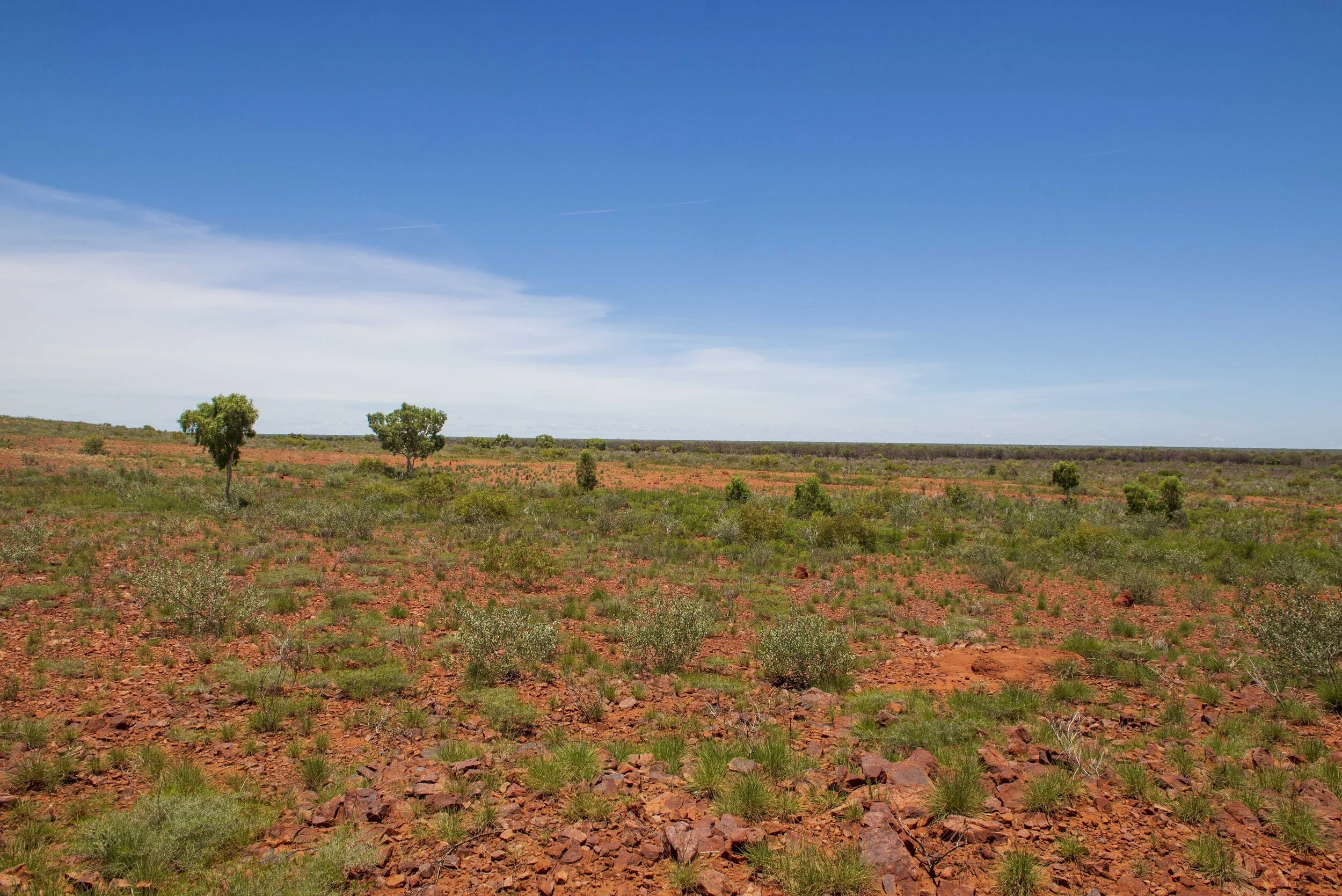
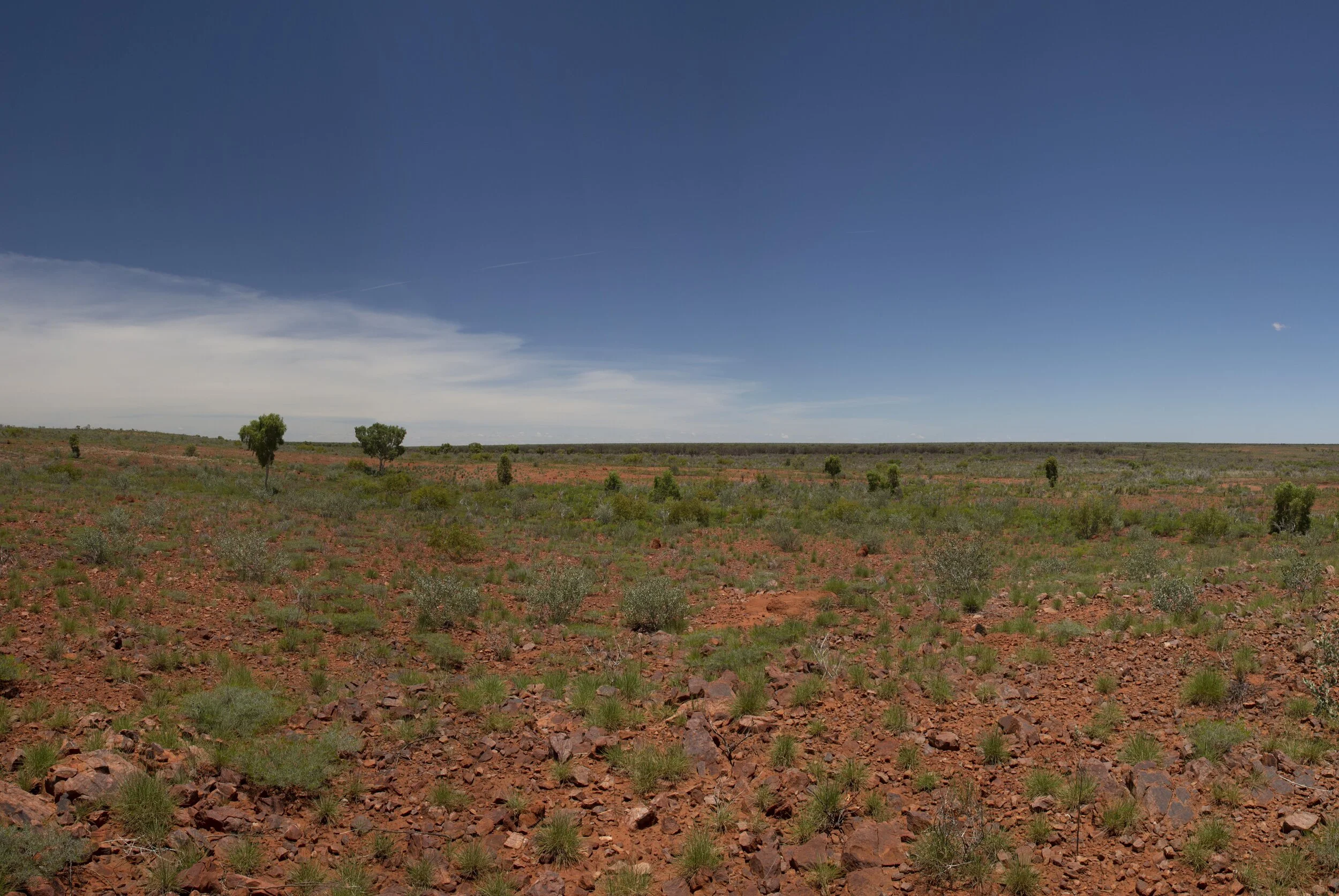
So what does this mean? The crater is not classical as we know it. It is a raised dome-like structure that extends over a two km area and this correlates well with what we had seen on our hike. In fact, the dome appeared to be one of the highest structures in the area offering a great view of the region. We could find no evidence of a crater rim again verified above in that no exposed evidence of the original rim could be found.


Getting There
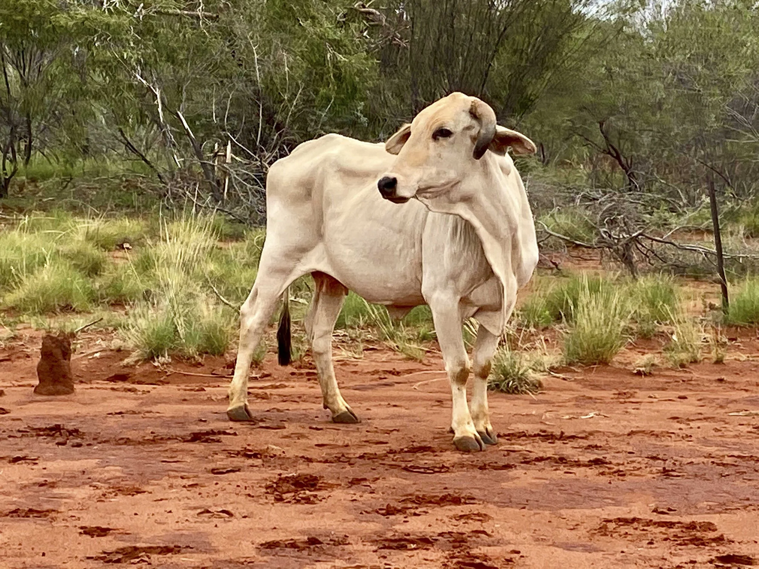
From Peko Rd in Tennant Creek travel south on Stuart highway for 36 km and then look for a gate on the west. This is the gate onto Private property contact the owners before entering. A well-maintained farm road takes you in a westerly direction through another set of gates that run parallel to the train track. Once you have crossed over the train tracks travel along this road till you cross over the underground gas pipeline. Shortly after crossing this pipeline, you will find an earth dam on your north. The start of the walk is on the western side of this watering hole. Most maps show a road heading north. This road is no longer in use and was completely overgrown and not suitable for driving. It is however still used by cattle to access the watering hole and it is worth finding this track as it makes for a good footpath when walking.
Due to the rain, we had to start our hike by crossing over a knee-deep body of water before heading up a slight hill. We were using map tracking and soon found remnants of the old road. Following this abandoned road for the next 6km gets you to the edge of the Kelly West site. From here cut into the meteorite site area to find the centre. The area is rocky with low shrubs and spinifex on the ridges and thicker low trees and brush in the lower-lying areas. Sadly cattle find no reason to visit the centre of this area and no cattle paths are available to lead you through the spinifex. We were using Avenza maps and it took us to beacon 327 (-19.927996, 133.952962) which was marked with a pyramid of stones. Not sure if this marked the centre of the meteorite site or the highest point in the area. Either way, it provides a great view of the surrounding countryside. Once you deviate off the abandoned road the beacon is about 1.3 km away as the bird flies. This is about a 16 km round trip when walking, it is very remote, dry, offering very little shade, and hot. If you are considering this walk make sure you are well prepared and experienced at navigating in the bush.
What to Explore in the Area
When in Tennant Creek take some time to visit the local attractions. Located in and on the outskirts of Tennant Creek are:
Battery Hill Mining Centre
Nyinkka Nyunyu Art and Culture Centre
A short distance to the north of Tennant Creek is:
Looking for a bush camp some 50 km to the north west of Tennant Creek is the fossicking area of Warrego.